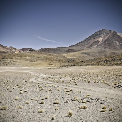
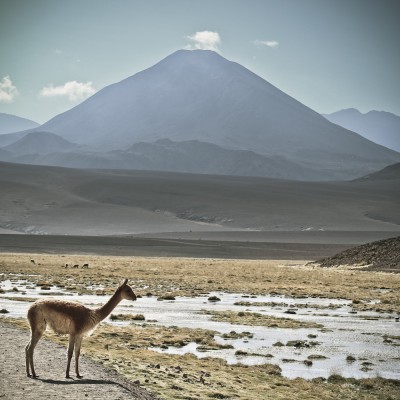
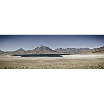
Salaar de Talar aussi appelé Les Pierres Rouges. C'est un salin...
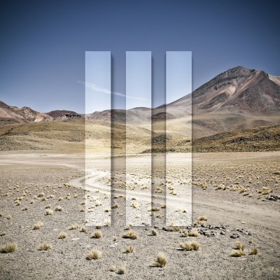
45,00 €
Prix
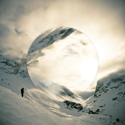
45,00 €
Prix